
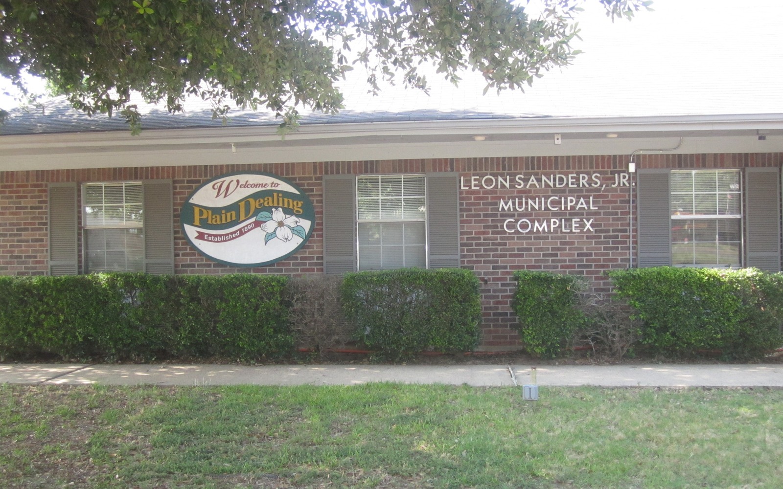
Sell Mineral Rights in Plain Dealing, LA
Bossier Parish gave its name to the Bossier Sand, a formation targeted right alongside the Haynesville Shale beneath towns like Plain Dealing.
Plain Dealing sits in the northern reach of Bossier Parish, squarely in core Haynesville country, close enough to the Arkansas line that operator activity here has been sustained for well over a decade. The Bossier Sand, a separate but often co-developed formation named for this parish, adds another layer of potential value beneath many tracts in the area.
Because this is genuinely active country, Louisiana title reviewers check current operator activity and recent division order history closely before quoting, since values here move with drilling and completion activity more than in slower parts of the play.
Haynesville and Bossier Sand, two formations, one tract
Operators in this part of Bossier Parish have targeted both the Haynesville Shale and the overlying Bossier Sand, sometimes with separate units and separate royalty arrangements on the same surface acreage. Louisiana title reviewers check which formation, or both, your lease actually covers, since that can materially change what your interest is worth.
Active drilling means active title work
With this much operator activity, unit boundaries and pooling orders around Plain Dealing shift more often than in quieter parts of the state. Louisiana title reviewers confirm your tract's current unit status and any recent division order changes before naming a number, so the offer reflects what's actually happening on your acreage right now.
Checking succession status on family tracts
Given how long this area has been productive, many tracts have passed through at least one succession since the original mineral owner. Louisiana title reviewers confirm the succession chain at the Bossier Parish courthouse in Benton before finalizing any offer, so every heir on title is accounted for.
Open the parish conveyance record first
A mailing address or a landmark is an orientation point, not the legal description of the mineral interest. The review identifies the governing parish, source deed, mineral reservation or servitude, later sales, acknowledgments, succession instruments, trust instruments, entity records, and corrective filings. Recording numbers and tract calls connect the chain forward to the current owner. Family recollection, a mailing address, or an operator statement can help locate the search, but none replaces the recorded chain.
Build the ten-year prescription timeline
A mineral servitude in this parish can be affected by Louisiana's ten-year prescription of nonuse. The file dates production, drilling, qualifying operations, acknowledgments, unit activity, and other events that may interrupt prescription, then matches those events to the correct tract and servitude. A lease or nearby well is not carried into the timeline unless the governing record shows why it affects the owned interest. The result distinguishes a live servitude, an unresolved prescription question, and minerals that may have returned to the surface owner.
Connect succession ownership to the unit
Louisiana succession records can divide a local mineral interest among heirs, spouses, trusts, or entities in fractions that later change again by sale or donation. Judgments of possession and later conveyances are linked to the present names before the tract is placed inside the controlling spacing, drilling, pooling, or compulsory unit order. The lease, unit order, well records, division order, and statement should describe the same participating tract and formation.
Reconcile the paid decimal
For a producing interest in the area, the worksheet compares the recorded fraction, net mineral acres, tract participation, unit participation, lease royalty, burdens, division order, and recent statements. A mismatch can come from title, a later conveyance, an amended unit, a payor setup issue, or an incorrect assumption about the rights conveyed. Undeveloped interests remain separate because they do not have a paid decimal or check history to support an income comparison.
Define the interest that could close
A local transaction should finish with a written scope that matches the parish abstract: record owner, parish, legal description, depths, fraction, effective date, included proceeds, excluded rights, title requirements, and any reservation. The proposed deed, assignment, closing exhibit, settlement statement, tax forms, and payment instructions should carry that same scope. Unresolved prescription, succession, trust, lien, prior-conveyance, or operator issues are listed as curative items rather than hidden inside a reduced number.
Questions to Resolve in the Louisiana File
Is the owner's Plain Dealing lease covering the Haynesville, the Bossier Sand, or both?
It depends on your specific lease language and unit designation. Louisiana title reviewers check this directly, since a lease covering both formations can carry meaningfully different value than one covering only the shale.
How often do unit boundaries change in this area?
More often than in less active parts of the play, given the amount of drilling in northern Bossier Parish. Louisiana title reviewers confirm current unit status before quoting rather than relying on older records.
Do you need the owner's most recent royalty statement?
Yes, if you have one. Recent division order payments tell Louisiana title reviewers more about current value than older records, especially in an actively drilled area like this.
Trace the next link in the Louisiana record
Put the Parish Record Beside the Offer
Send the parish, legal description, owner name, operator or payor, and the records already available.
Open a Parish Review